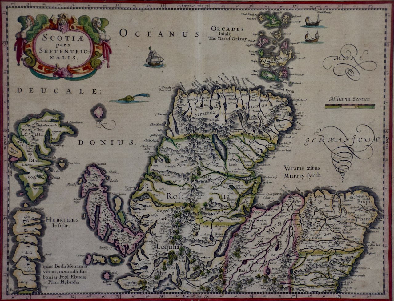
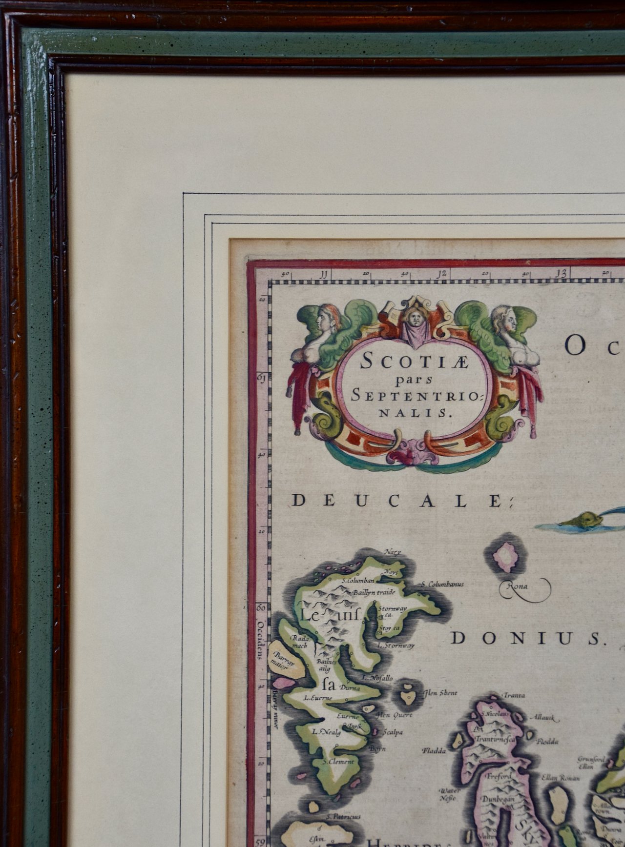
Sweden and Adjacent Portions of Scandinavia: A Hand-colored 18th C. Homann Map
This hand-colored copper-plate map of Sweden and adjacent portions of Scandinavia entitled "Regni Sueciae in Omnes suas Subjacentes Provincias accurate divisi Tabula Generalis" was created by Johann Baptist Homann in 1710 and again published in Nuremberg, Germany in 1730 shortly after his death. The map detail cities, forts, mountains, forests and lakes, as well as districts. It includes Stockholm, Coppenhavi (Copenhagen), Helsingingfors, Helsingo (Helsinki), Livonia (now Estonia), Lithuania, Latvia and the Baltic Sea. The beautiful elaborate cartouche in the lower right depicts cherubs holding an armorial shield topped by a crown. On the left a woman holds a spear in her right hand and her left hand rests on the head of a lion. A man stands behind her wearing a helmet and holding a sword. At the top, an angel in the clouds blows on a trumpet. A child holds a tray of fish in the lower left of the cartouche.
Creator: Johann Baptist Homann (1664 - 1724, German)
Creation Year: 1710
Dimensions: Height: 20.75 in (52.71 cm)
Width: 23.5 in (59.69 cm)
Medium: Engraving
Condition: See description below.
The map is printed on laid chain-linked paper and it is beautifully hand-colored. There is a central vertical fold, as issued and mild discoloration in the margins. The map is otherwise in very good condition.
Johann Baptist Homann (1663-1724) was a mapmaker who founded a respected and prolific publishing company, which continued long after his death as Homann Heirs. Homann lived his entire life in Bavaria, particularly in Nuremberg. Initially, Johann trained to become a priest before converting to Protestantism and working as a notary. In 1702, Johann founded a publishing house that specialized in engravings. The firm flourished, becoming the leading map publisher in Germany and an important entity in the European map market. In 1715, Johann was named Imperial Geographer to the Holy Roman Empire by Charles VI and made a member of the Prussian Academy of Sciences. Most importantly for his business, his reputation and contacts gained him imperial printing privileges which protected his publications and recommended him to customers.


