Utrecht, Netherlands: A Large 17th Century Hand-colored Map by Sanson & Jaillot
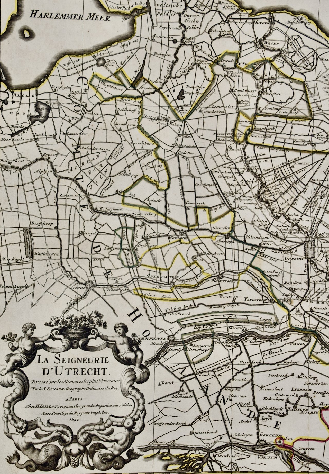
This large hand-colored map entitled "La Seigneurie d'Utrecht. Dressé sur les memoires les plus nouveaux par le Sr. Sanson" was originally created by Nicholas Sanson d'Abbeville. This version was published by Hubert Jaillot in "Atlas Nouveau" in Paris in 1692. It depicts the Utrecht province of the Netherlands, including the city of Utrecht, the town of Goude (famous for its cheese), the Zuyder Zee, which at the time this maps was produced was part of the North Sea. In modern times it was cut off from the North Sea and is now IJssel Lake.
Creator: Nicholas Sanson d'Abbeville
Creation Year: 1692
Dimensions: Height: 20 in (50.8 cm) Width: 24.88 in (63.2 cm)
Medium: Engraving
Condition: See description below.
Reference #: 4769
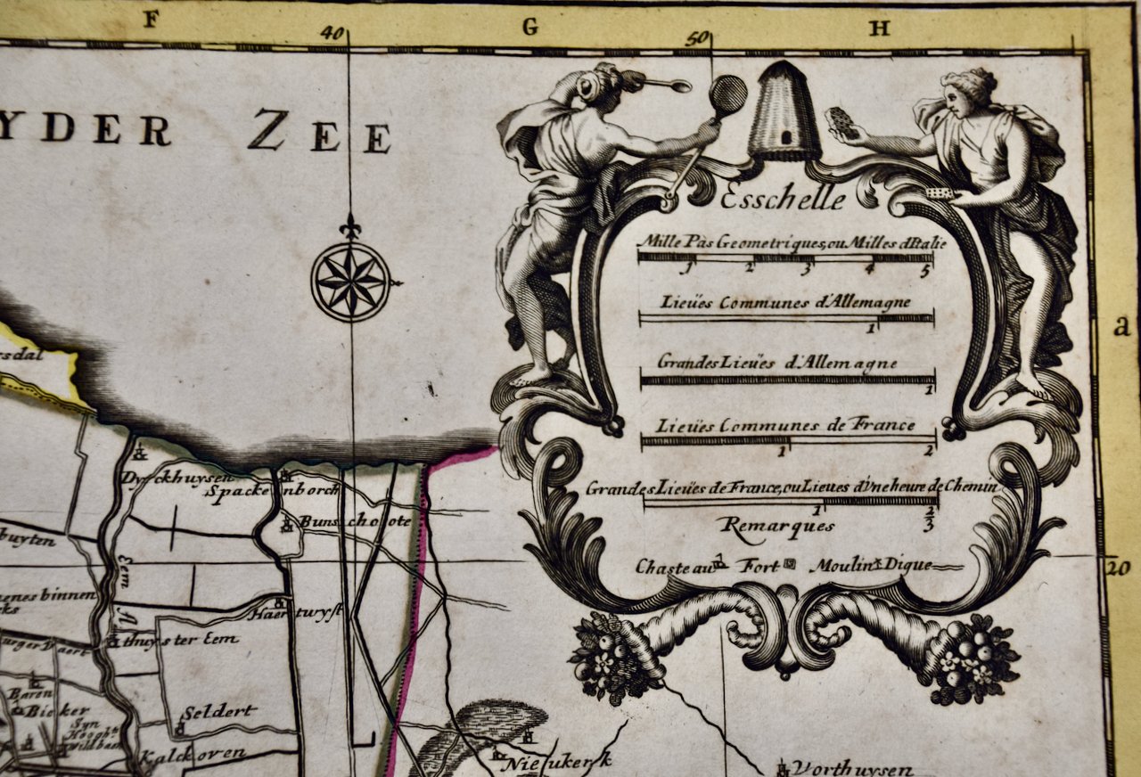
An ornate title cartouche in the left upper corner consists of 2 young figures in the upper portion holding flowers and an urn and two mermaids in the lower portion. A scale cartouche is present in the upper right corner.
The map has original hand-coloring. It is printed on antique hand-made laid, chain-linked paper with wide margins. The sheet measures 20" high and 24.88" wide. There are small chips in the lower edge of the sheet and mild discoloration in the margins. It as otherwise in very good condition.
Nicholas Sanson d'Abbeville (1600-1667) was one of the greatest French cartographather of French cartography. Sanson opened his first printing business in Paris in 1638. The king recognized his skill and knowledge and made him the official geographer to the court. He eventually served two kings in this capacity. Sanson was succeeded by his sons, including Guillaume Sanson (1633-1703), and son-in-law in the business and as geographers to the king. Sanson's plates were eventually purchased by the prominent Parisian cartographer Alexis Hubert Jaillot (1632-1712), who continued to publish his maps and atlases with a dual Sanson and Jaillot attribution. Jaillot went on to serve King Louis XIV.


